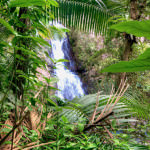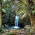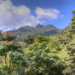
If there’s one place in Puerto Rico that’s truly a natural paradise El Yunque is it! Just 20 miles to the east of the San Juan Metroplex, this is the only subtropical rainforest in the U.S. Park System. Here you will find endangered bird species, beautiful waterfalls, a variety of flowers, lush vegetation, stunning vistas and winding hiking trails; all in a cool, mountainous setting that’s simply breathtaking by any standard.
El Yunque is located in the Sierra de Luquillo on the northeastern quadrant of Puerto Rico. El Yunque has been a protected forest since the 19th century when King Alfonso 12th of Spain declared it “reserva de la corona”, an area reserved for the Spanish Crown. Today it is the only forest in Puerto Rico managed by the US Department of Agriculture Forest Service.
The forest covers an area of approximately 114 square kilometers, which makes it the perfect place to get lost. So it’s in your best interest not to stray away from the designated hiking paths.
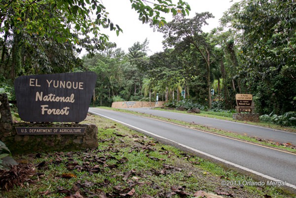
Make your first stop at El Portal Tourist Information Center. The map below will take you straight to the main entrance. There you will find exhibits, information and friendly US Department of Agriculture personnel that will tell you all about the forest and point you in the right direction.
From there it’s off to the forest. Remember, you’ll need a good pair of hiking shoes, adequate clothing and lots of water. Even though the average temperature in the forest is several degrees lower than at sea level you will soon discover that humidity levels are a lot higher. This will make most people sweat profusely. So once again, don’t forget the water!
Rather than recreating the excellent information that’s already available on the US Department of Agriculture’s website I figured that it would be better to simply supply you with a direct link to their excellent hiking map.
As you will see, El Yunque is a place where you can spend an entire day and just scratch the surface. However, there are certain must-see places that you should make sure to visit. Theses are: La Coca Falls, the Yokahu Observation Tower, Juan Diego Falls and La Mina Falls.
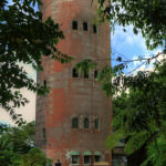
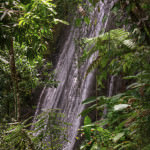
La Coca Falls is right on the edge of the road; so you can’t miss it. This marvel of nature is made of solid black rock, 85 feet high and surrounded by lush vegetation. You will find it on road 191, km. 8.1. Next you will find the Yokahu Observation Tower, a red concrete structure that overlooks the northeastern coast of Puerto Rico on its north side and sits right below El Yunque peak on the south. You will find it on road 191, km. 8.9.
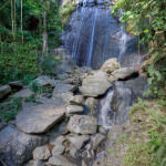
Juan Diego Falls is next on our list. However, you will never find it if you don’t know where to look. That’s because the fall isn’t next to the road. In fact it’s completely hidden. When you get to road 191, km. 9.8 look on your right and you will find two consecutive bridges with small falls of running water. The second one has a small trail on the right side of the riverbed that leads up to Juan Diego Falls. It’s about a five-minute hike.
That leaves us with La Mina Waterfall. To get there you will hike downhill through a trail that follows the “La Mina River”. It’s about a half-hour walk down and another half-hour walk up. But it’s worth every step. The scenery is absolutely stunning.
Finally, there’s a trek that most locals know about, but most tourists never venture to walk. And that is the trek to the top of El Yunque, where all the antennas are. You have to be healthy and strong to try this one. It’s a five-mile hike straight up the mountain with several resting spots along the way.
When I was a university student I must have walked this trail 15 or 20 times. But now, at 59 years of age, I probably wouldn’t even try.
However, if you are the adventurous type, you are young and healthy, and you want to see a breathtaking vista of the northeastern coast of Puerto Rico, this is the hike for you!
