Arriving in Yabucoa, Puerto Rico
(click on image to see it larger)
It was the morning of September 19, 2023. My wife Zory and I explored the little town of Yabucoa, Puerto Rico as part of or “5 Must-See Places” series on YouTube. It was surprising to see how far this town has come from the devastating events of September 20, 2017.
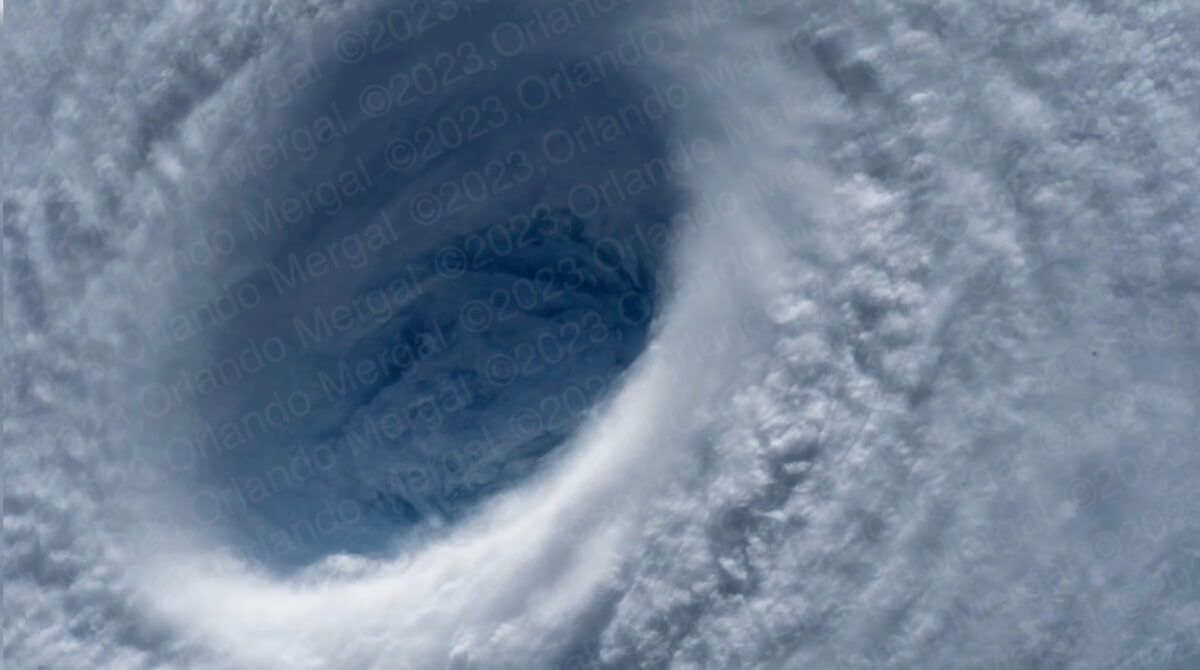
Just 6 years earlier Yabucoa was the epicenter of one of the largest disasters in American history. These aren’t my words. They were the words of FEMA officials when they saw the destruction across the entire island of Puerto Rico.
María made landfall at 6:15am and tore a path of death and destruction through Puerto Rico, from Yabucoa to Hatillo, with a death toll of 2,975 and total monetary losses topping $96.61 billion. It was the fourth-costliest tropical cyclone on record.
Looking at a map it would seem like María only went through 21 or 22 towns, but there wasn’t a single inch of land in Puerto Rico that wasn’t affected by hurricane María. It was a nightmare.
Hurricane María
(click on image to see it larger)
My wife and I weren’t on the Island that day. We were at my sister’s house in New York, where her and my wife were crying their eyes out, all night long, in front of the TV. I still remember how I jokingly told my wife “esa es una ventisca” when we left the Island on the 17th to shoot the fall colors in New England. Well, that “ventisca” (strong breeze) morphed into one of the deadliest monsters in history in a matter of days.
Six years later Yabucoa is still struggling, but the improvement is noticeable. Everything’s green again, many of the buildings have been repaired or are in process of being rebuilt and life goes on “normally”. But the signs of a disaster are still there, if you know where to look.
There are still multiple structures that have no windows or doors. There are signs with just the frames and aluminum roofs that are still missing. Those are the obvious signs. But there are others that are not so obvious.
New power poles with cable separators
(click on image to see it larger)
Most of the power poles are new. I could tell because they aren’t the traditional “cross-type” poles used by the Puerto Rico Power Authority, where the cables where physically separated by the top component of the cross. Instead they’re the modern type used in the mainland, where the cables are closer together and held apart by separators.
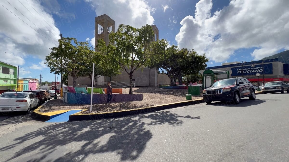
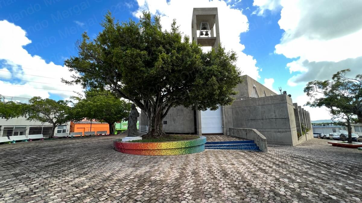
And then there’s the Catholic Church, the “Santos Ángeles Custodios” Parish. It’s a massive concrete structure that was rebuilt like a bunker back in 1968. And again, I wouldn’t blame them, since many of Puerto Rico’s meanest hurricanes like San Felipe, San Ciriaco, San Ciprián, Santa Clara, Georges and most recently María have all plowed through this town.
Notice the white rollup doors
(click on image to see it larger)
But what caught my eye were the two huge roll-up doors. You know, like the ones you would see in a commercial warehouse. I could be wrong, but somehow it seems like the original doors must have been messed up by María.
I hear that the inside of the temple is quite nice and that it has beautiful stained windows galore. But we weren’t able to see the interior because the church was closed.
In front of the church there’s a small square (more like tiny) that’s clean and has adequate tree cover. Come to think of it, it’s a miracle that those trees are even standing, given the severity of María’s winds. But there they are and they’re beautiful.
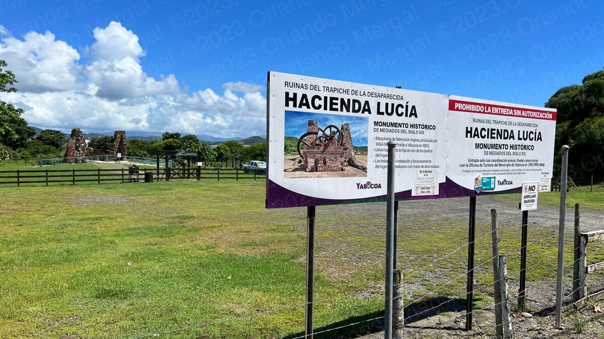
Hacienda Lucía was closed. Only by appointment!
(click on image to see it larger)
After a brief walk around town we headed for the ruins of Hacienda Lucía. During the 19th century Yabucoa was a sugar cane powerhouse and Hacienda Lucía was one of its six sugar cane plantations. There’s a small government-run exhibit where you can see one of the hacienda’s original sugar cane mills. But guess what? The place was closed. What we found was a sign that says that they only receive visitors by appointment.
Well guess what? That might work for local visitors, but not for someone traveling from abroad, who’s bound to just drop by unannounced. Besides, I tried the phone number on the sign (787–893-3000) and all I got was a black box with a dead-end extension that no one answers.
And don’t get me wrong. I would certainly not expect the government to pay for someone to sit on his/her hands just waiting for someone to shop up. That would be a waste of resources and we all know how frugal the government is. But there are ways to automate reservation systems so that they’ll be accesible 24/7 from anywhere in the world.
Given this reality, it then becomes a matter of will. Will the different municipalities embrace international tourism or are they just interested in “thinking small”? Puerto Rico has hundreds of interesting places to explore, but it takes a lot more than TV ads to make it happen.
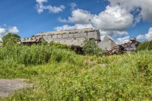
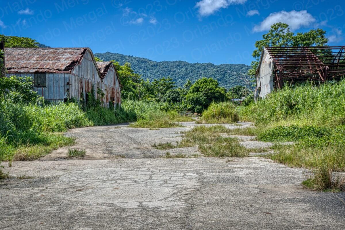
From Hacienda Lucía we moved on to Central Roig, another one of the sugar cane operations that is presently in ruins. There was no one there and —quite frankly— it didn’t seem like the safest place in the world. So we just looked around briefly and moved on.
-

- Central Roig
(click on image to see it larger)

-

- Central Roig
(click on image to see it larger)
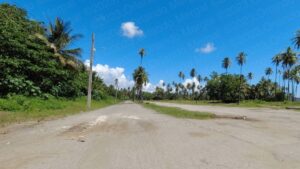
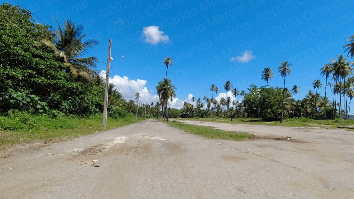
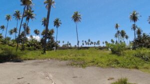
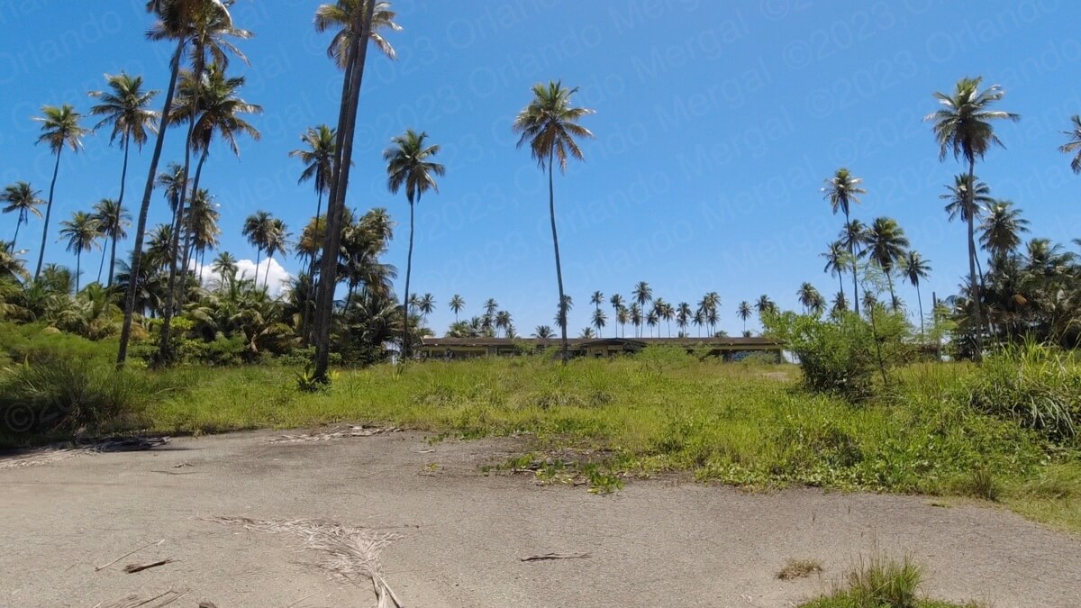
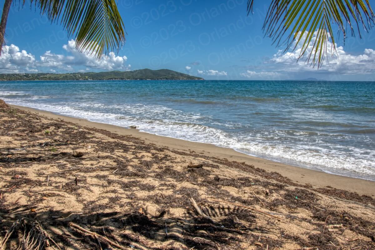
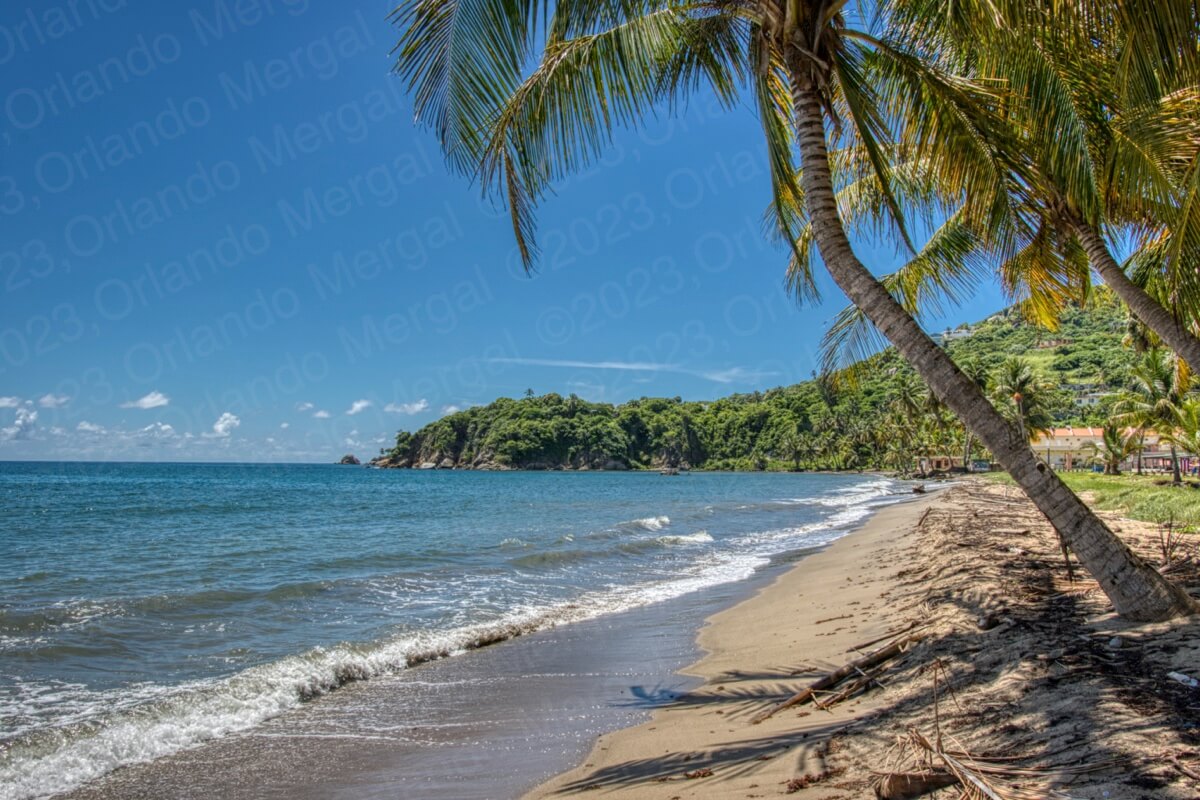
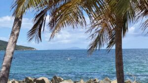
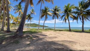
Our next stop was Playa Lucía. At one point it seems like Playa Lucía was a full-blown government operation with showers, gazebos, concession stands and ample parking. But today all that’s left is the water and the palm trees. The place is solitary and mostly abandoned.
You can also see the effect that global warming and the rising tide are having on the shoreline. The erosion is evident. In some cases you have palm trees that have just fallen into the water. Additionally, this year Puerto Rico as a whole has received an unprecedented amount of sargazo weed. So much so that the beaches are just covered in the stuff.
-

- Abandoned parking lot at Playa Lucía
(click on image to see it larger)
-
- Abandoned structures at Playa Lucía
(click on image to see it larger)
-

- Erosion and Sargazo at Playa Lucía
(click on image to see it larger)
-

- Severe erosion at Playa Lucía
(click on image to see it larger)
Don’t get me wrong. The government isn’t to blame for the sargazo. This has been an issue since before Christopher Columbus sailed the ocean blue. In fact he mentions it in his log. But it also seems like nothing is being done to clean it up. And that does touch the government directly.
In many ways Playa Lucía seems like a nice place to bathe, but the fact is that there was nobody there. So I guess the jury is still out on this one.
From Playa Lucía we headed south, as if we were going towards the neighboring town of Maunabo. We wanted to check out a huge bolder that’s split in half on the edge of a cliff by the water. Locals call it “las guaretas” because it resembles the twin rear tires of a semi truck. That’s what those tires are called in Spanish: “guaretas”.

We also wanted to see a couple of beaches in that direction that are supposed to be quite nice. The first was “Playa El Negro” and the other is called “El Cocal”. What we didn’t consider was the topography of the area.
These three attractions are in an area where the road goes around the edge of the mountains and you have to drive down steep roads to the seashore. And of course, if you have to go down a steep grade to get there, you’ll have to go up a steep grade to get back out.
That was a problem for us because our SUV has a fuel injection problem and I still haven’t gotten around to having it fixed. So we decided to turn around and head for the Yabucoa Harbor Boulevard.
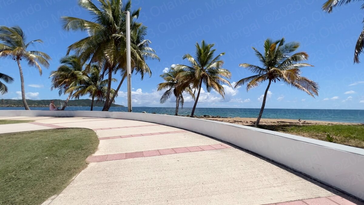
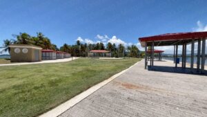
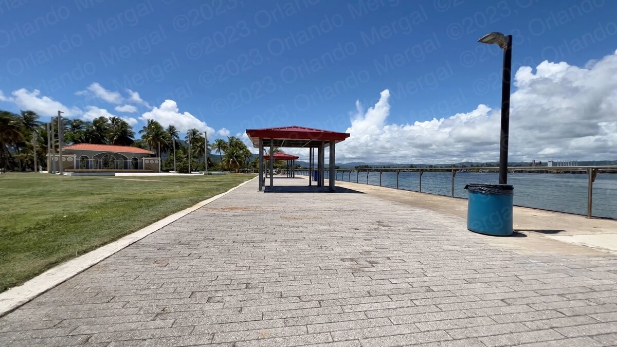
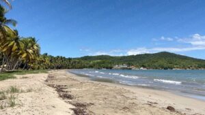
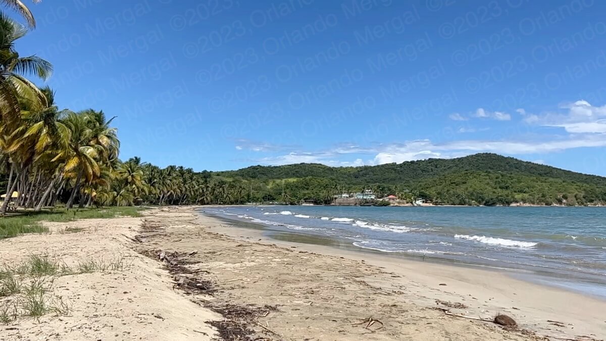
The Yabucoa Harbor Boulevard is passive entertainment area with a beautiful beach that is just that: “beautiful”. According to the patrons that were taking in the see breeze the beach is mostly “eye candy”. Nobody bathes there because of the rocky bottom, high surf and underwater currents.
-

- Yabucoa Harbor Boulevard
(click on image to see it larger)
-

- Yabucoa Harbor Boulevard
(click on image to see it larger)
-
- Yabucoa Harbor Boulevard
(click on image to see it larger)

-

- Yabucoa Harbor Boulevard
(click on image to see it larger)
-
- Yabucoa Harbor Boulevard
(click on image to see it larger)

People mostly go there to relax by the sea, fish and take a stroll along the beautiful boardwalk. On a clear day you can also see the neighboring island municipality of Vieques in the distance.
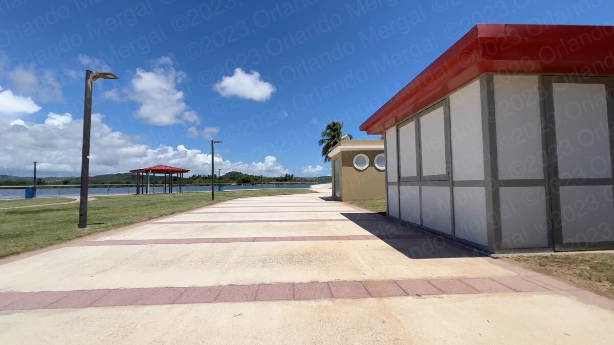
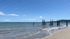
After leaving the Yabucoa Harbor Boulevard we headed for Guayanés Beach, which is physically on the other side of the Yabucoa Bay. Guayanes Beach is a government run facility but it’s not a Balneario. Balnearios are run by the central government and at this point in time they’re not in the best of shape.
Guayanés Beach is run by the Municipal Government of Yabucoa and it’s actually quite nice. There are showers, restrooms and a couple of gazebos. However, I didn’t see any lifeguards or buoys. The water seems calm and it has a sandy bottom.
-
- Playa Guayanés wide view
(click on image to see it larger)

-
- Playa Guayanés
(click on image to see it larger)
-
- Playa Guayanés
(click on image to see it larger)

We actually talked with a couple of patrons who told us that the beach is usually calm and that there are lots of little shellfish in the water. They also told us about the destruction caused by hurricane María in the area and how it had taken months to clean up.
You can actually still see some remnants of that destruction, but most of the surrounding structures have been repaired.
After leaving Playa Guayanés we had every intention of visiting two additional beaches: “Playa Icacos” and “Playa Secreta”. However, we ran into one of Puerto Rico’s sad realities. Puerto Rican law specifies that beaches on the Island to belong to the people. They’re considered ‘public domain”. But in many places private concerns have purchased beachside property and simply fenced out the locals. And this is exactly the case with these two beaches.
They’re inside a gated community called “Palmas del Mar” and as hard as I tried, there was no way to get to them. So, after making some amazing images of the island of Vieques over the Palmas del Mar skyline, we decided to go home.
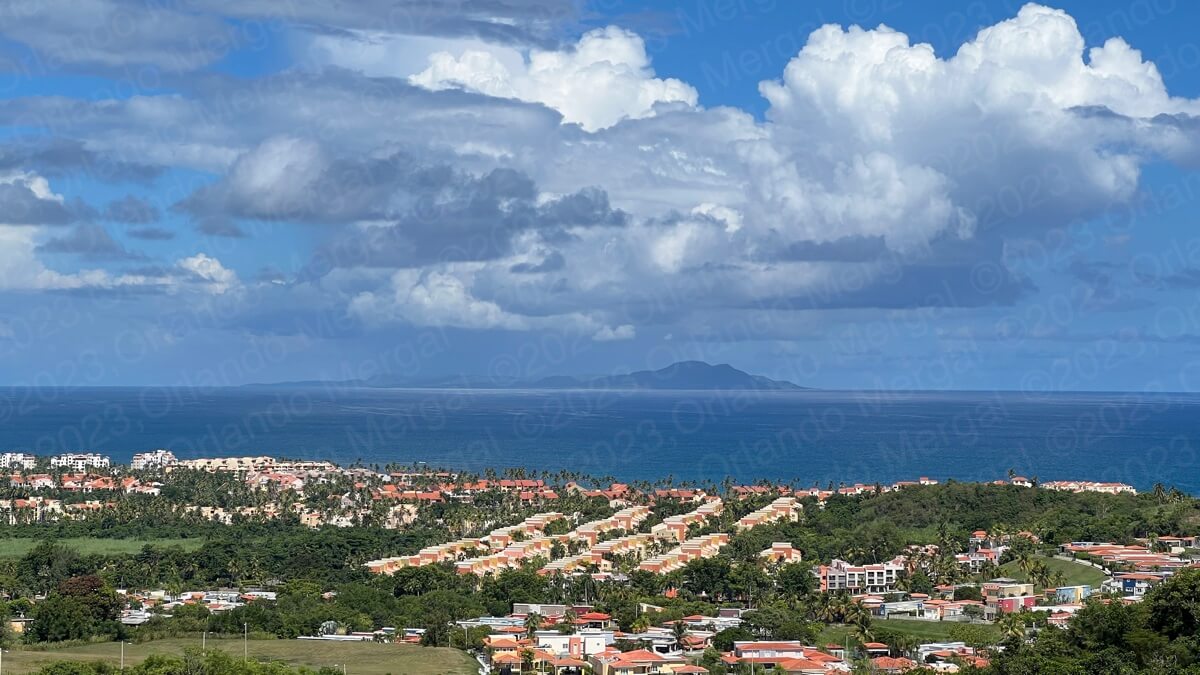
Vieques over the Palmas del Mar skyline
(click on image to see it larger)
Yabucoa is a beautiful town that has a lot going for it. It has resilient people, interesting places to explore and nice beaches. However, I don’t know if they have a collective “shell shock mentality” but you get that eerie feeling that everything is standing still.
Yes, this town suffered a lot. There’s no doubt about it. But it also has a lot going for it. So I just wish them the best!
To get to San Juan from the Palmas del Mar area just take State Road 53 until you reach the intersection with State Road 30, follow State Road 30 west to the exit towards Toll Road 52 going north and follow 52 until you reach the Minillas Tunnel. Or better yet, copy your hotel coordinates before leaving in the morning and use them to get back to the San Juan Metroplex in the afternoon.
And talking about San Juan, if you’re planning to visit the Old City, save yourself the hassle of traditional city tours. They’re expensive and you’ll be herded along with people that won’t necessarily share your interests.
Instead, order The Old San Juan Walking Tour. It’s packed with useful information about all the main attractions, as well as every GPS coordinate and two hours of exclusive online video. That way you’ll be able to —visit before you visit— and hit the ground running when you arrive in the Old City.
See you next time!
©2023,Orlando Mergal, MA
____________________
Bilingual Content Creator, Blogger, Podcaster,
Author, Photographer and New Media Expert
Tel. 787–750-0000, Mobile 787–306-1590
![]()
![]()